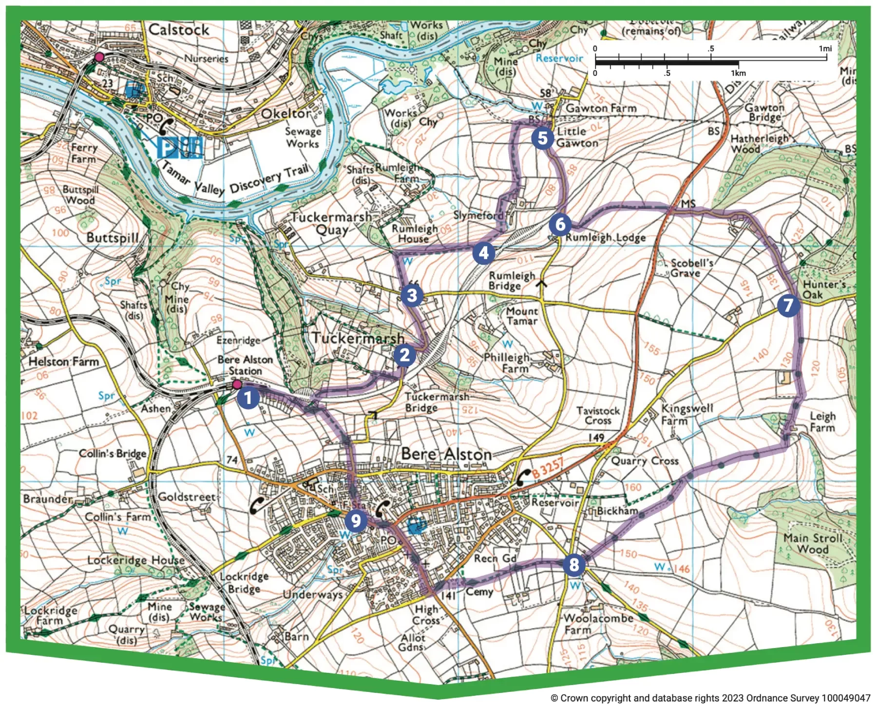
A Tamar and Tavy Valley Circular from Bere Alston Station

Moderate
5½ miles (8.8km)
2¾ hours
PDF download of walk PDF download of walk

A delightfully undulating exploration of quiet and little-walked countryside between the Tamar and Tavy valleys north of Bere Alston.

As you gaze over the tranquil River Tamar it’s impossible to imagine that this area was once home to a highly organised mining community. As far back as medieval times there was a constant flow of traffic up and down the river, supporting local mining and smelting initiatives, which revived in the early 19th century (and expanded with the introduction of steam power). Redundant chimneys at Okel Tor Mine (silver and lead, later copper, tin and arsenic), Gawton Mine (copper and later arsenic) and Rumleigh Brickworks can be spotted from this lovely route, before a pastoral return via quiet lanes and fields above the valley of the River Tavy


Key facts

Start/Finish Bere Alston Station SX 440674, PL20 7ES

Moderate
5½ miles (8.8km)
2¾ hours
None available at start point
Station Road, Bere Alston

Terrain

Repeated ascents and descents through fields and along quiet lanes.

Public Transport

Rail services Tamar Valley Line to/from Gunnislake and Plymouth; bus services to/from Bere Ferrers and Tavistock.

Dogs

Under control at all times; plentiful livestock, so on leads on field paths, at Gawton Farm and the recreation ground; non-dog-friendly stiles.

Step Image

Directions

Step 1

SX 438728

Head down the station access lane; before reaching it turn sharp left on a bridleway track which parallels the old railway line to Tavistock, passing houses. Where the track bears away sharp left, follow the bridleway ahead into woodland, soon passing under the old railway line. Emerge from the trees and enjoy glorious views towards the Tamar Valley upstream of Calstock. Old market garden fields flank the path, still providing a lovely display of daffodils in early spring. The bridlepath reaches a junction with a concrete track.

Step 2

SX 438728

Turn right, uphill, to reach a lane by Tuckermarsh Bridge over the old railway line.
Turn left, downhill, to wind through the hamlet of Tuckermarsh, passing a substantial stone-faced embankment: the old railway line is just above. The lane ascends to a T-junction opposite the drive to Rumleigh House and farm.

Step 3

SX 447677

Cross the lane and follow the concrete drive. Where it starts to descend more steeply, pick up a footpath through the hedge on the right. Follow the fenced path (narrow and a little overgrown in summer) along the field edge, heading gently uphill alongside a sweeping field. Towards the top follow the path left, down to a track.

Step 4

SX 450679

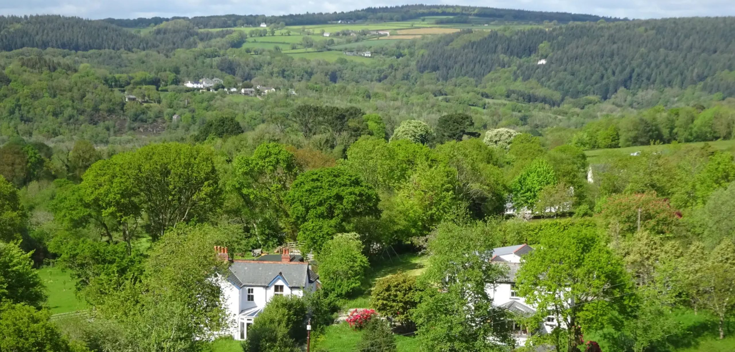
Bear very slightly right, then drop to cross a stile into a field: marvel at the view, taking in (from left) Kit Hill, Gunnislake, Morwell Wood (above Morwellham) and then Maddacleave Wood.
The onward route through fields at Slymeford is well signed. Bear half-right, downhill, to pass a footpath post; the Calstock Viaduct towers over the river away to the left. Continue in the same direction and through a small gate; drop to cross a stream, then bear very slightly left to pass immediately below gardens. On the next corner pass through a gate and bear right; go through a gate by a big barn, then turn left through another gate. Keep ahead, and through another gate into a field.
Follow the left edge; cross a stile, then follow the right edge of the next field; the chimneys of Okel Tor Mine can be seen on the other side of the river, as can the intertidal marsh just upriver from Calstock. Chimneys on the east bank of the Tamar mark the sites of Gawton Mine and Rumleigh Brickworks.
At field end pass through a gate and turn right on a track, heading towards Gawton Farm. Pass through the farmyard, via gates, to reach a lane.

Step 5

SX 454685

Turn right, uphill, passing under the old railway line again.

Step 6

SX 454681

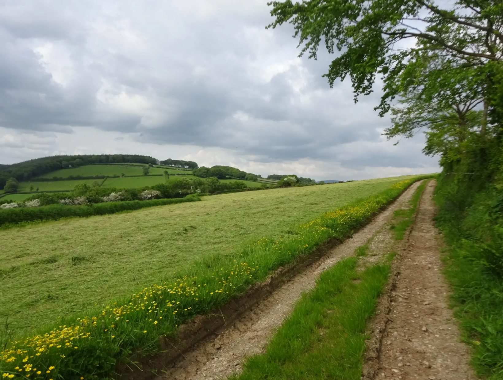
About 100 yards later turn left on a rough bridleway track, uphill, soon following the top edge of a pasture field. As you crest the hill look back for phenomenal views along the valley towards Calstock, and on to Caradon Hill on Bodmin Moor. Pass through an open gateway; the track levels, and Dartmoor comes into view: Cox Tor, Great Staple and Great Mis tors, with blocky Sheepstor right.
Reach the B3257 to Bere Alston. Cross with care (note the milestone); follow a quiet lane past farm buildings and later houses to reach a T-junction.

Step 7

SX 464677

Cross over; follow the drive to Leigh Farm, with views over the Tavy valley towards Dartmoor’s southwestern tors. Descend to pass between converted farm buildings and farmhouse; the track ascends to a gate into a field. Turn right along the hedge, gently uphill. At the top pause to look back across the Tavy valley to spot Buckland Abbey, home of Sir Francis Drake in the 16th century, then pass through a gate to reach a path junction.
Bear slightly left, and follow the right edge of the field. Crest the hill, pass through a gate and head downhill to a lane junction.
Turn right; at the fork keep left.

Step 8

SX 454666

Cross the Bere Ferrers road to find an enclosed footpath that passes horse fields, then enters the recreation ground. The Right of Way follows the left hedge, meeting the road via a gate in the far corner (the lovely line of beech trees along the road was planted in 1937 to mark George VI’s coronation).
Cross the road and turn left, passing the cemetery, to reach a crossroads.
Turn right, passing Holy Trinity Church, and follow Fore Street through Bere Alston. Pass Bedford Street (right); continue on Station Road past the parish hall and war memorial.

Step 9

SX 445688

Turn right at Drakes Park (unsigned) and head uphill. Cross Broad Park Road and continue along a narrow lane. Where the lane bears sharp right, turn left through a gate; follow a fenced footpath through another gate and downhill between horse fields (Calstock in view ahead). The path enters woodland; at a fork keep right and pick your way down to join a broad track.
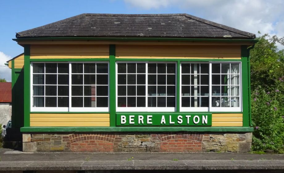
Keep straight on to meet a track on a bend; keep ahead again, passing houses, eventually turning sharp right to find the station, which opened in 1890 and was important for the onward transport of local market garden produce into the early 20th century.

Step