An exploration of the Cotehele Estate

Moderate
3¼ miles (5.2km)
1½ hours
PDF download of walk PDF download of walk

A circular exploration of the wooded valleys and farmland of the National Trust’s beautiful Cotehele estate, starting from historic Cotehele Quay on the tranquil River Tamar.


The first house and estate to be given to the National Trust (in 1947), Cotehele is one of the gems of the Tamar Valley. Built between 1485 and 1560, the house escaped later modernisation, largely as a result of being owned by the Edgcumbe family for almost 600 years (who also acquired Mount Edgcumbe at the mouth of the Tamar, and focused their interest there). This lovely walk explores the wider estate and enjoys far-reaching views over rolling pastures and wooded valleys. A cherry avenue at Newton Farm has been reinstated, having been spotted on old estate maps; the Tamar Valley was renowned for its cherry orchards and strawberry gardens in the 19th century.

Key facts

Start/Finish Cotehele Quay SX 424681, PL12 6TA

Moderate
3¼ miles (5.2km)
1½ hours
Cotehele Quay car park (pay & display; National Trust members free)
Cotehele Quay

Terrain

Gentle gradients (one short steep descent); quiet lanes, woodland and field paths.

Public Transport

None available

Dogs

Under control at all times; on leads in field approaching Newton Farm

Step Image

Directions

Step 1

SX 424681

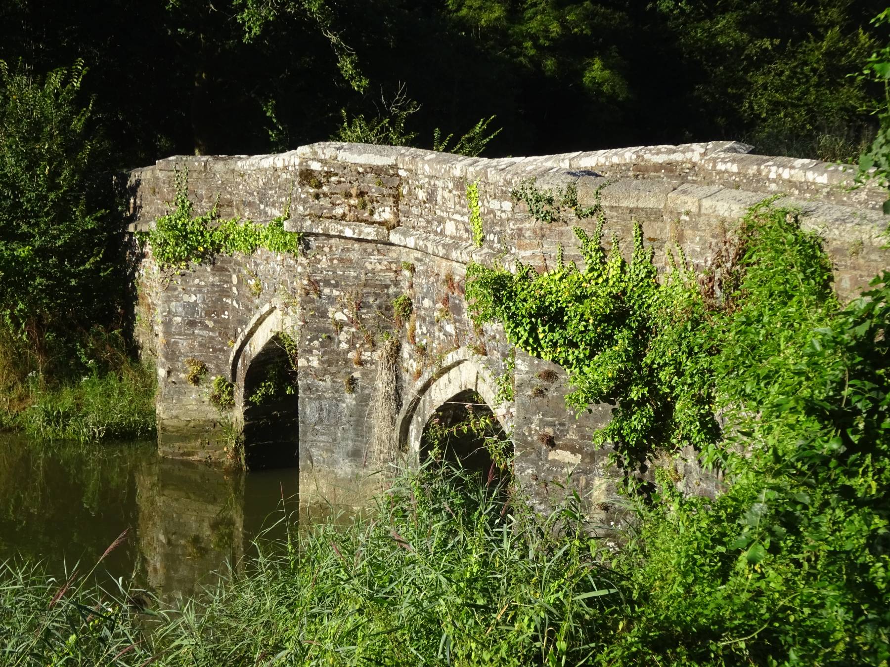
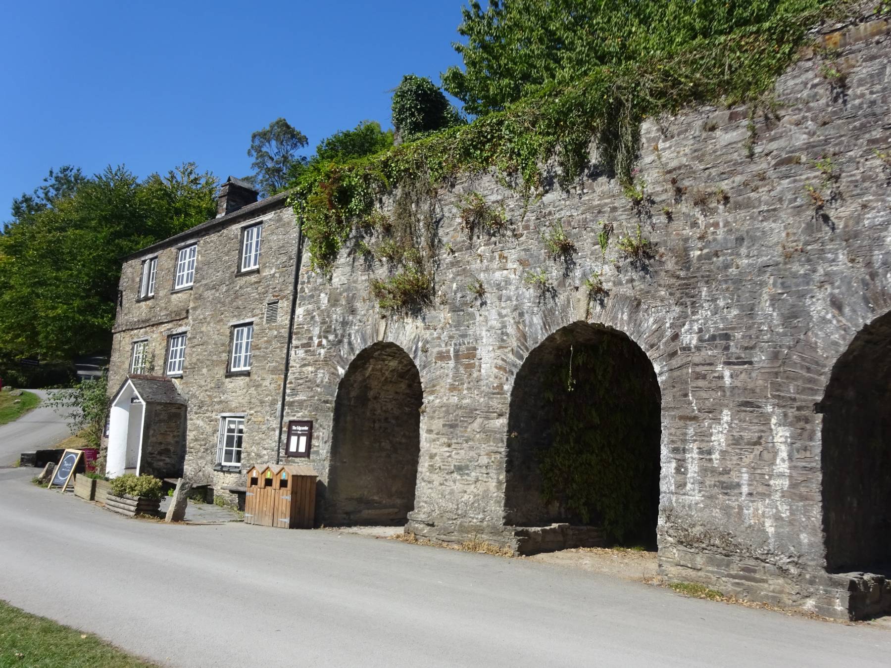
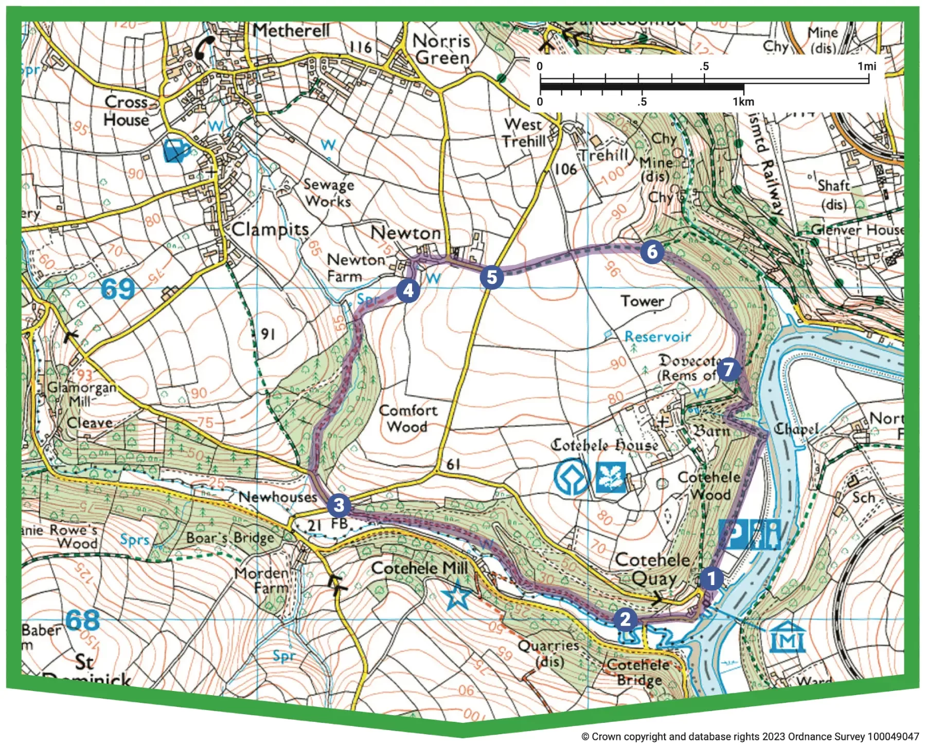
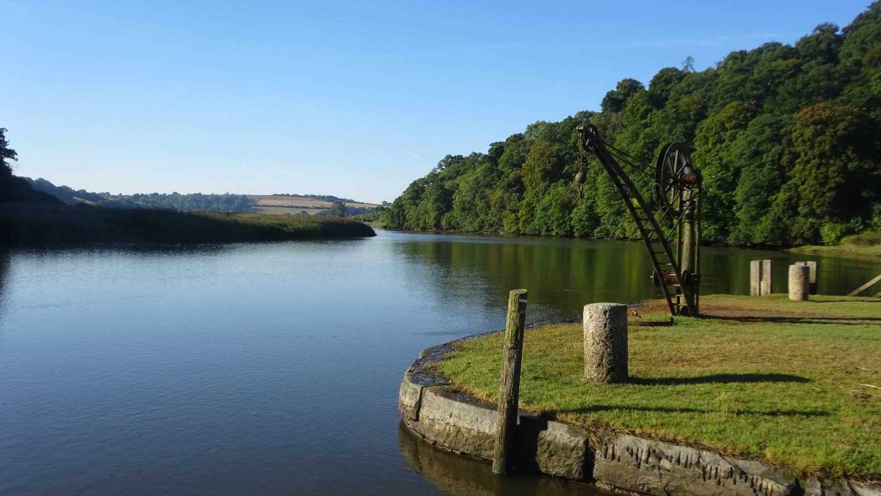
From the car park entrance follow signs ahead for the Discovery Centre and Cotehele Mill. Note the huge limekilns, and the Shamrock, an old ketch-rigged Tamar sailing barge, in one of the riverside wharves. She was built in Plymouth in 1899 and carried cargo up and down the river. Head towards the water to round the building housing the Discovery Centre. On reaching the lane turn left, passing the Etherick Lake reedbed, to reach Cotehele Bridge (built in 1820).

Step 2

SX 421680

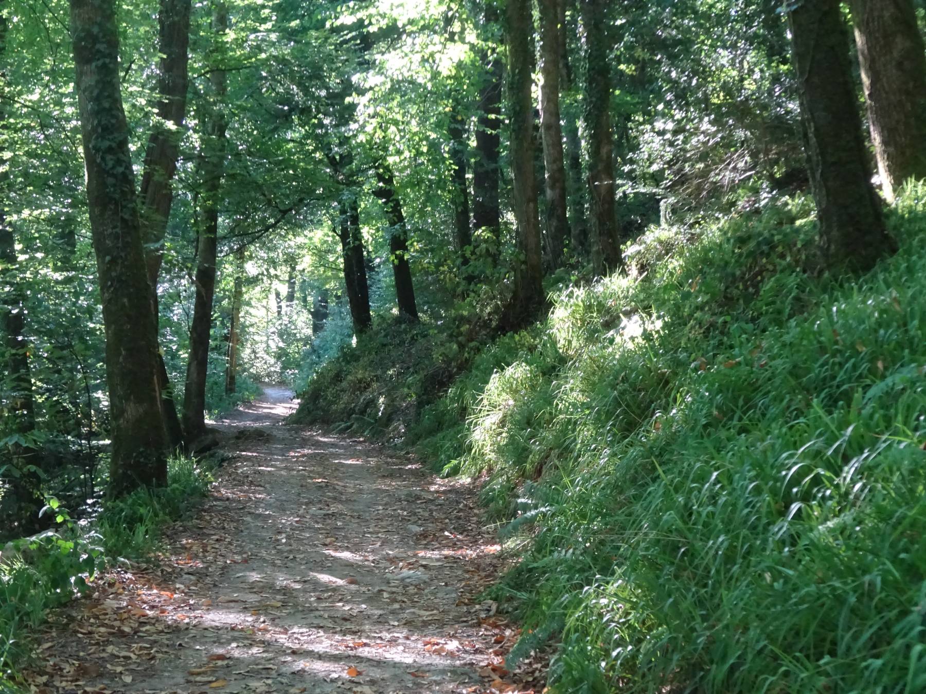
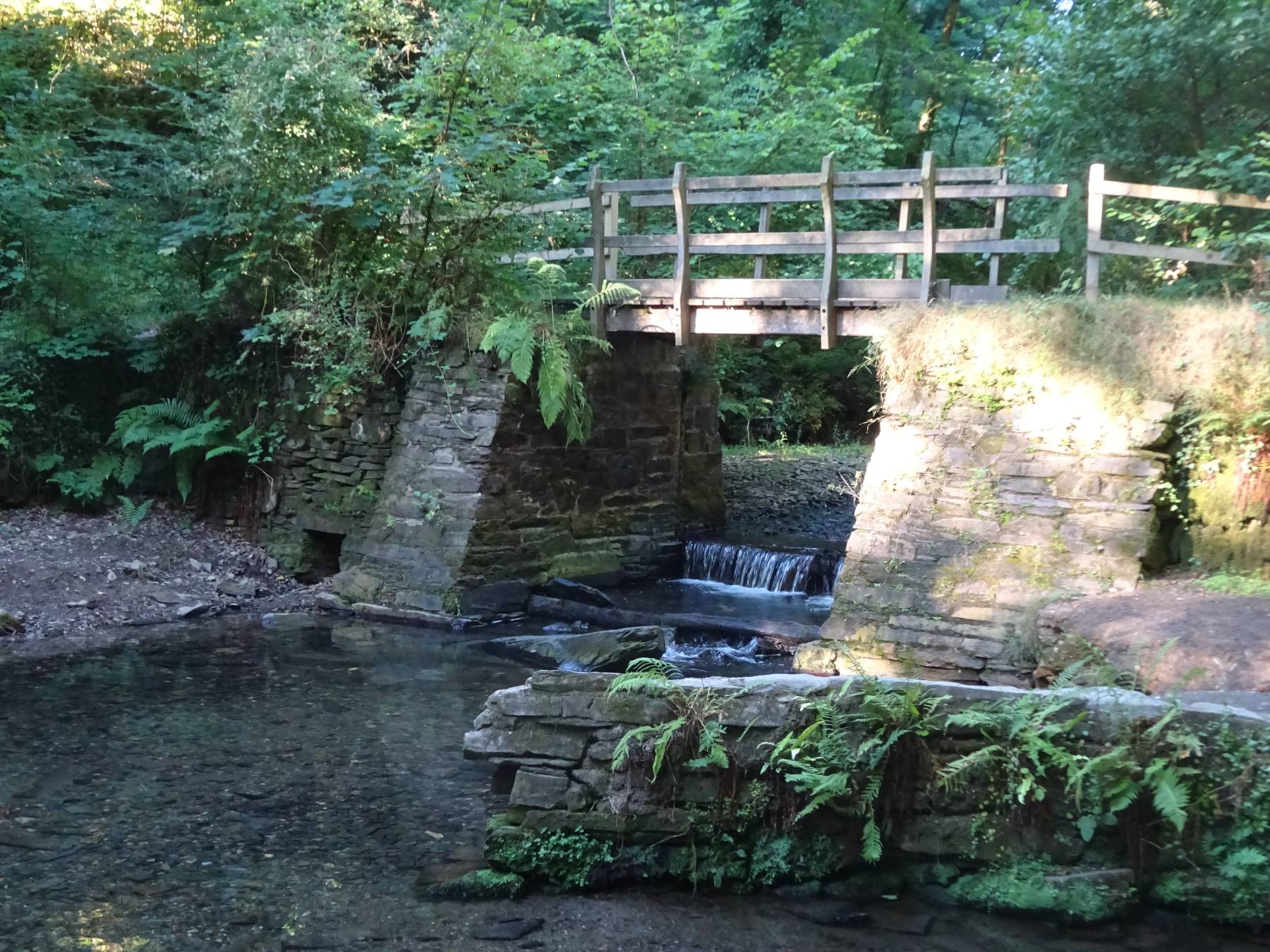
Keep straight ahead on a broad accessible track that follows the Morden Stream through Elbow Wood. Ignore a fork left to Cotehele Mill. After a few paces, at the next fork, bear left downhill and head upstream to reach the old weir, washed away in December 2020, cutting off the leat that fed the mill’s waterwheel. Keep straight on, ascending to a lane in the hamlet of Newhouses. Cross over and head along a narrow hedged lane.

Step 3

SX 411684

Immediately past a double garage, turn right through a field gate on a permissive path (an unsigned track) and head gently uphill through Comfort Wood, alongside a stream. Where a path comes in sharp left, bear right on narrower path to cross the stream and ascend to a small gate. The permissive path soon bears right along an avenue of cherry trees.

Step 4

SX 414690

On the end of the field pass through a kissing gate. Turn left, bearing right at Newton Farm to reach a T-junction. Turn right, uphill, to another T-junction.

Step 5

SX 417690

Cross over; go over a stile by a field gate, and follow the left hedge. As you crest the hill, Prospect Tower – a three-sided folly said by some to commemorate the visit of King George III and Queen Charlotte to Cotehele in 1789 – peeps over the horizon. Lovely views across the landscape open up; the communications mast on North Hessary Tor on Dartmoor can be seen in the distance. Pass through a kissing gate and head down the left edge of the next field. Where the gradient steepens, bear right across the slope – at times slippery – to find a kissing gate into woodland, just beyond a pylon. A short flight of steps gains a track.

Step 6

SX 421691

Bear right along the woodland edge, almost immediately ignoring a stepped path left. Continue beneath soaring oak and beech trees, high above the river.

Step 7

SX 424687

Where a gate comes into view ahead, bear left on a rough way that descends to meet a broader path. Keep straight on; within a few paces, take the left fork and pick your way downhill. Pause at a rather exposed viewpoint, looking straight upriver towards the elegant 12-arched Calstock Viaduct, built between 1904 and 1907 and now carrying the Tamar Valley Line, linking Gunnislake and Plymouth. The Calstock to Gunnislake stretch utilises the former East Cornwall Mineral Railway line. Continue on, below Cotehele’s garden fence. The path drops towards the river and passes a small stone chapel, dedicated to St George and St Thomas à Becket and built around 1490 by Sir Richard Edgcumbe. During the Wars of the Roses, as a Tudor supporter, Sir Richard was pursued by followers of Richard III; he escaped from them at this spot. The chapel was built after the king’s defeat at the Battle of Bosworth. The broad, level track passes expanses of developing reedbed and intertidal marsh, created to attract species such as shelduck, little egret and redshank, and to alleviate flood risk in this part of the valley. When quayside buildings come into view ahead, bear left into the car park.

Step